
On the Global Watersheds app, I noticed that the OpenTopo map layers were not loading for me at all. I think I may have gone over some kind of limit.
As a workaround, I’ve added a whole bunch of new basemap options. A couple of them only work in certain regions. For example, GeoPortail France only works at higher zoom levels in France, and the USGS topographic maps can only zoom in to the US.
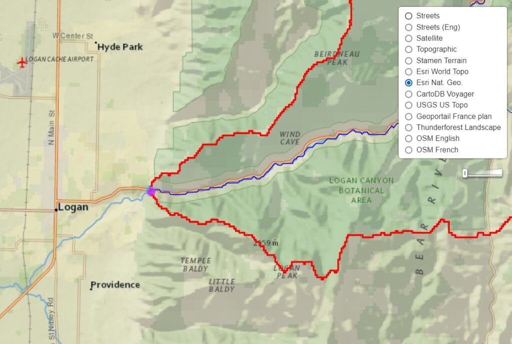
Some of the new basemap options have limits on the number of map tiles they will provide for free. So if one doesn’t work, try a different one. And if you have any feedback, let me know! 🙂