
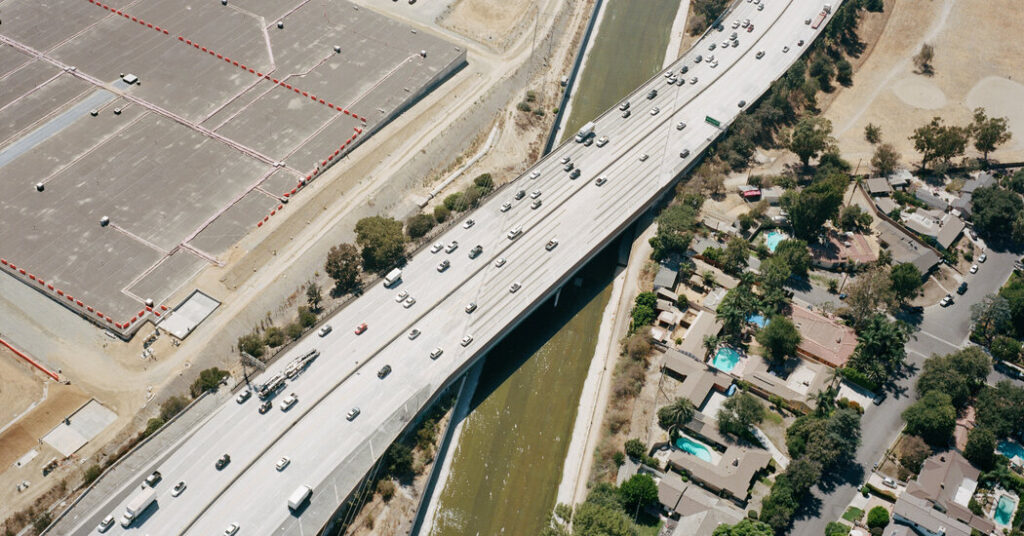
The Los Angeles Times magazine recently published a fantastic article on the Los Angeles River, exploring its history and plans for its redesign. The author, the Times architecture critic Michael Kimmelman, writes that, “Angelenos live, work and play along it, but know little of its origins.” I think you could say the same about the residents of any city astride a river, great or small.
However, it has never been easier to find a river’s watershed. I have been delighted by how many Wikipedia articles about rivers contain high-quality watershed maps. Most of these were created for free by amateur cartographers and are free to reuse. Many of them are made by a small handful of contributors. Kmusser and Shannon1, you are unsung watershed heroes!
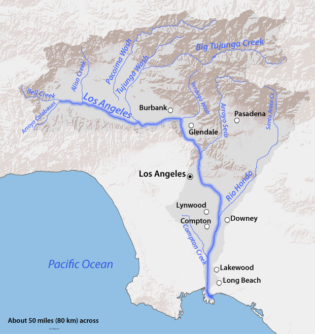
One day, maybe every article about a river will have a map of its watershed. This is especially useful when you want to understand more about pollution, flooding, or land use. And might I suggest that it has never been easier to map a watershed thanks to the free Global Watershed App on this site? For example, here is an interactive map of the Los Angeles River watershed created with the app: