
I’m pleased to announce some new features and enhancements in the Global Watersheds web app.
You can now delineate watersheds that drain to a polyline or polygon feature. This is useful for finding the total drainage area for a section of coastline or for an inland lake — also known as “endorheic” lakes.
To use this feature, under Options, check the box for Delineate watersheds for a lake or coastline. On the left side of the map, you will see a new drawing toolbar. Select one of the drawing tools, and create a polyline, polygon, rectangle or circle. You can only draw one feature at a time. There are also little buttons to edit your feature or to delete it. Then click on the feature and then click the button Delineate! This feature is only available using MERIT data (not HydroSHEDS), and only in “lower-resolution” mode.
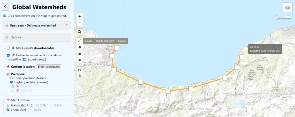
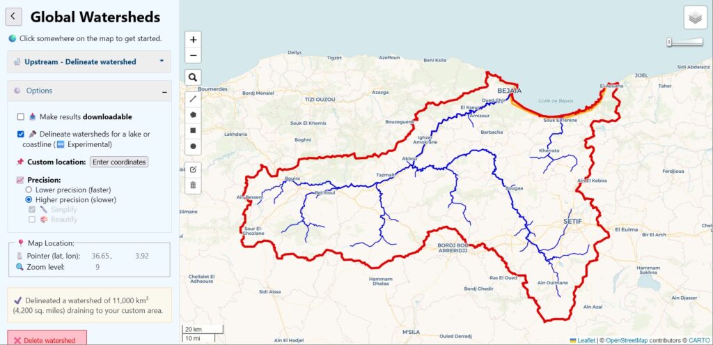
In the example below, I found the area that drains to the Gulf of Bejaia on the Mediterranean coast in Algeria, by drawing a line over the land near the coast:
The resulting drainage area includes two larger rivers or “wadis,” as well as many smaller coastal drainages.
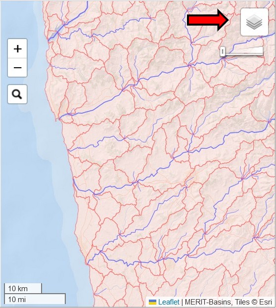
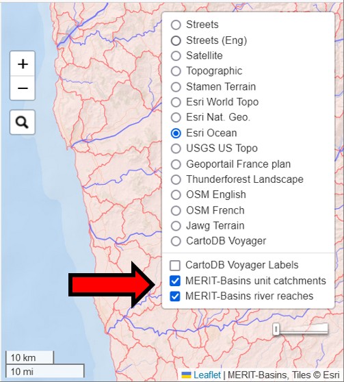
The second new feature allows you to view the MERIT-Basins layers on the map. There are separate layers for “river reaches” and “unit catchments.” These are the data layers that the app uses to construct watersheds when you choose “MERIT” as your data source. To activate these layers, just click on these new layers. They are overlays, which will display on top of your chosen basemap.
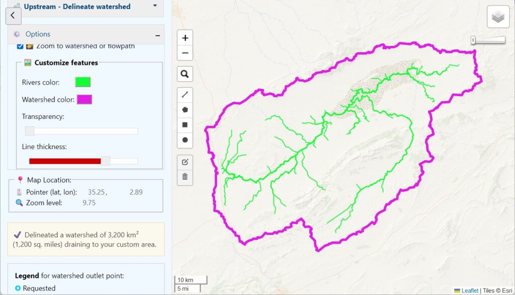
Finally, a small but fun new feature: you can now change the color of your rivers and watershed boundaries. You’ll find the color selectors near the bottom of the Options pane on the left. I’m not sure this is very useful, but you can create some interesting effects:
Please let me know what you think of these new features. Did you find any bugs? How could you use them?